Drake Passage, the body of water between Cape Horn at the southern extreme of South America and the northern extremity of Antarctica, is considered one of the most treacherous ocean passages. Mariners say you don’t challenge Drake Passage you survive Drake Passage. The exchange of water between the Pacific, Atlantic, and Southern oceans at this natural choke point causes horrendous sea conditions. The area is known for high winds and steep seas, along with fog and ice bergs.
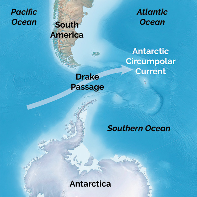
The world’s strongest ocean current, called the Antarctic Circumpolar Current, flows eastward through this 600-mile-wide ocean “choke point.” This flow can reach 40 knots and the intense current, along with strong winds, can create enormous seas of 40 feet and more. The volume of water passing through is approximately 600 times the volume of the Amazon River. To learn more about the Antarctic Circumpolar Current, be sure to watch an earlier video with the crew of s/v One Ocean and Dr. Jim Thomson with the University of Washington by clicking HERE.
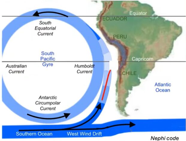
Of interest is the effect that the Antarctic Circumpolar Current has on global climate. This massive current contributes to vertical mixing and the sinking of carbon dioxide into the deep ocean. The exchange between the global oceans through the Drake Passage acts like a wall, keeping Antarctica cold by preventing northern warmer water from moving southward, but scientists are concerned about what will happen when huge pieces of ice from the Antarctic depart and move out to sea; Gulf Stream weather patterns will change for the U.S. East Coast and along the coasts of Europe.
.
 The Around-the-Americas crew in anticipation of reaching Cape Horn, wrote on March 4 from Puerto Williams on Beagle Channel:
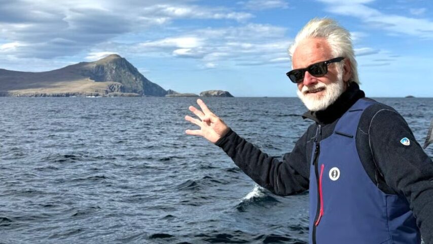
“s/v One Ocean is anchored in the bay outside Puerto Williams. It was a clear, cold morning, sunlight glowing off the surrounding mountain peaks. I watched clouds race in from the west and wondered what conditions were building beyond the shelter of our bay, soon, we will find out. Later this week – weather dependent – we plan to depart for Cape Horn after we present to the southernmost sailing school in the world – Cedena. The journey to the Horn is approximately 140 miles round trip, but it may be some of the most significant miles of our entire expedition. This region is a vital engine of our planet’s climate system, and we are here to bear witness to changes.” – Jenn Dalton
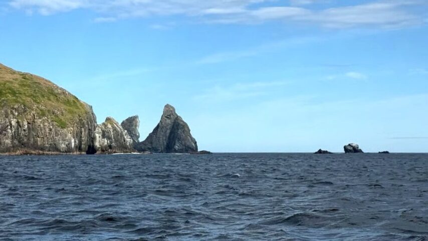
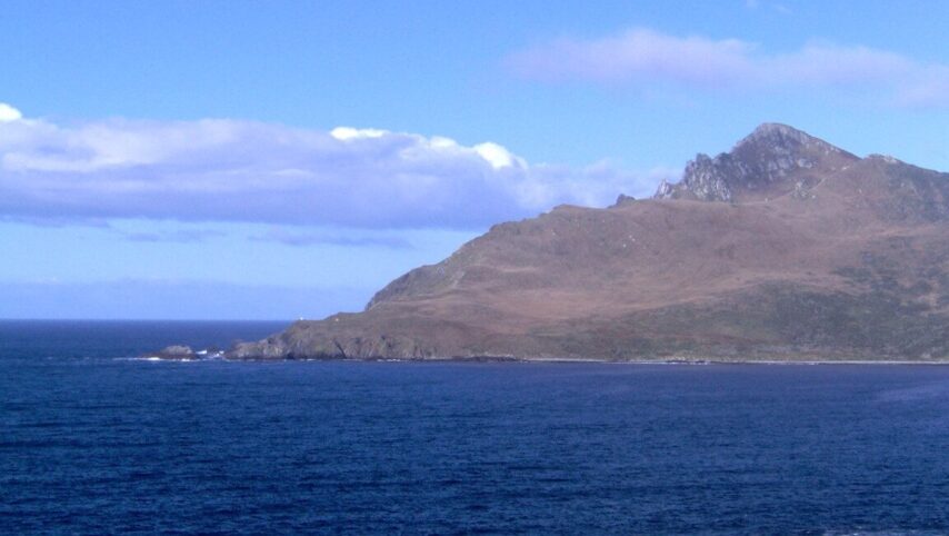
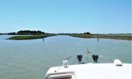
On March 7, 2026, s/v One Ocean headed south to an anchorage in the National Park Cabo de Hornos Islands located on the edge of Drake Passage before making their final push out to sea at Cape Horn.
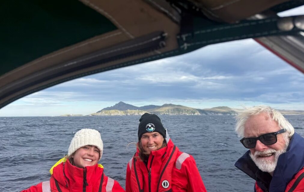
Pushing out to Drake Passage on March 8, the crew deployed a GPS equipped microSWIFT buoy near Cape Horn to measure waves, temperature, and salinity, part of their ongoing research for ocean science. The crew experienced relatively calm seas with 20-30 knot winds along with a notable current. Data from the microSWIFT Buoy #171 is transmitted to a lab every hour via iridium satellite for approximately three weeks. You can view the data at www.oneislandoneocean.com. Data collected from all of the buoy deployments by s/v One Ocean will be analyzed over the next several months by the Applied Physics Lab at the University of Washington, creators of the microSWIFT buoys. The crew also continued their kelp research near Puerto Williams, along with whale sightings for identification.
Header Photos and Text Photos: s/v One Ocean Crew
Drake Passage Map: Earth Magazine
Current Diagram: Dr. Thomson, UW
