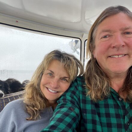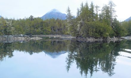
This article, a third in the series, starts where we left Brian & Laura DeNault in the Broughtons in search of bears and salmon runs.
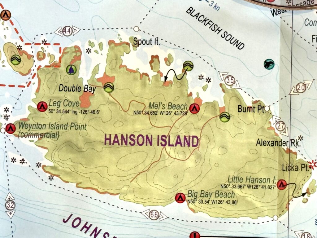
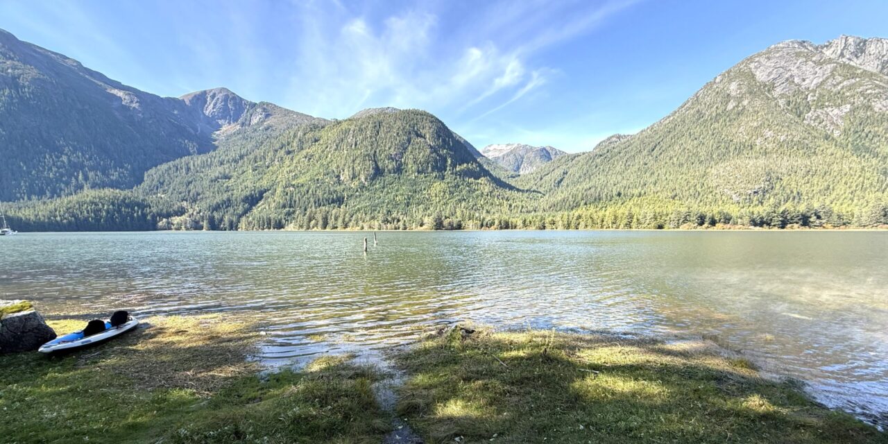
Next stop? – a lesser-known anchorage called Dong Chong Bay on the north shore of Hanson Island, an island located between Johnstone Strait and Blackfish Sound. In Dong Chong Bay, boaters will discover the interesting site of Mel’s Beach, a kayaker’s camp, also known as the Square Notch Bay campsite managed by the BC Marine Trails Network Association (BCMT). The DeNaults report follows:
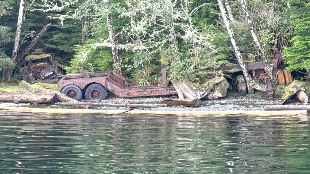
How did we find this bay? We carry many maps on board for our unending search of trails, rivers, and bears. Of the many maps, we have for the Broughton’s, only one of them names Dong Chong Bay, while the others simply have no name for this large bay. It was clear when we got to shore that Mel’s Beach was a logging site. Very old equipment was left behind right at the camp site. From the looks of the abandoned equipment, this logging site most likely operated 80 some years ago. We tried to find hiking trails on the old logging roads shown on many maps, but the roads are now very faint and heavily overgrown. About a mile up, we found an old trailer home.
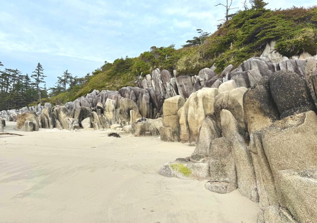
After a stop at Port McNeill for reprovisioning and a successful rounding of Cape Caution in surprisingly good sea conditions for that time of year, the DeNaults spent two nights in Pruth Bay on Calvert Island. They hiked all of the beautiful white-sand beaches to the south, including the final 7th Beach. These beaches are accessed via a trail to the west from the Hakai Institute in Pruth Bay.
After crossing Fitz Hugh Sound from Pruth Bay, the DeNaults explored Koeye River on northern Mainland British Columbia, hoping to find salmon and bears. Their report follows:
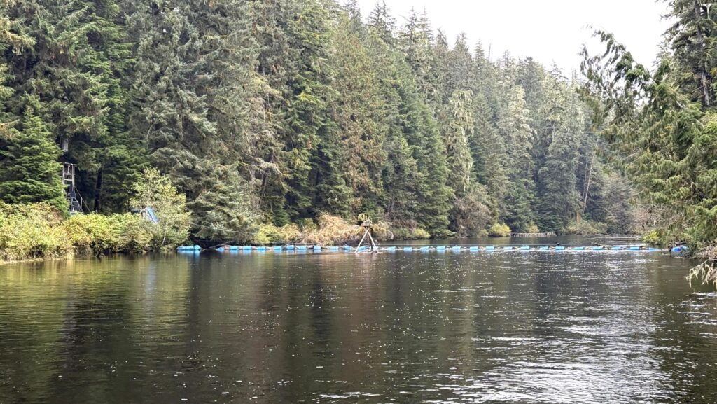
 At high tide we motored our tender 3.5 miles up Koeye River and saw lots of Pink Salmon in the river and dozens of eagles in the trees. We could not get more than 3.5 miles up the river because there is a tribal-made barrier spanning the entire river with metal tubes that act like a sieve; we don’t know the purpose of this sieve barrier. At the site of the barrier, is an old two-story tall observation building on the north shore with solar panels and a Starlink antenna on a platform in the middle of the river!
We drifted back downstream where there is a large grassland, which is generally a prime place to find bears. We waited and watched for bears as long as we could, mindful that the tide was ebbing and the river was becoming shallower. Our hopes were high, but unfortunately, we saw no bears.
The DeNaults continued their journey in Northern BC, cruising northeast up Burke Channel and anchored in an unnamed cove across from Haaksvold Point in preparation for their morning departure into the South Bentinck Arm. Their report follows:
We cruised all day Thursday in hard driving rain, meaning we didn’t get the incredible views of the beautiful granite mountains that are the defining feature of the upper Burke Channel, but we did make it all the way to our anchorage in Larso Bay, South Bentinck Arm.
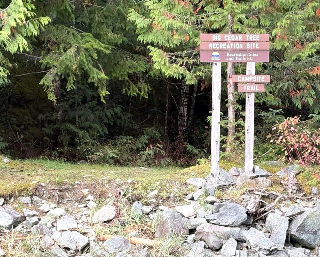
We awoke to a mostly sunny day and hiked the well-marked trail to the gigantic Cedar tree. We brought along a roll of string to measure its circumference; we still believe it’s the biggest of the three very old Cedar trees, vs. the Watson Cove & Blind Channel trees; but to verify this, we will stop to measure those two trees on our way back south.
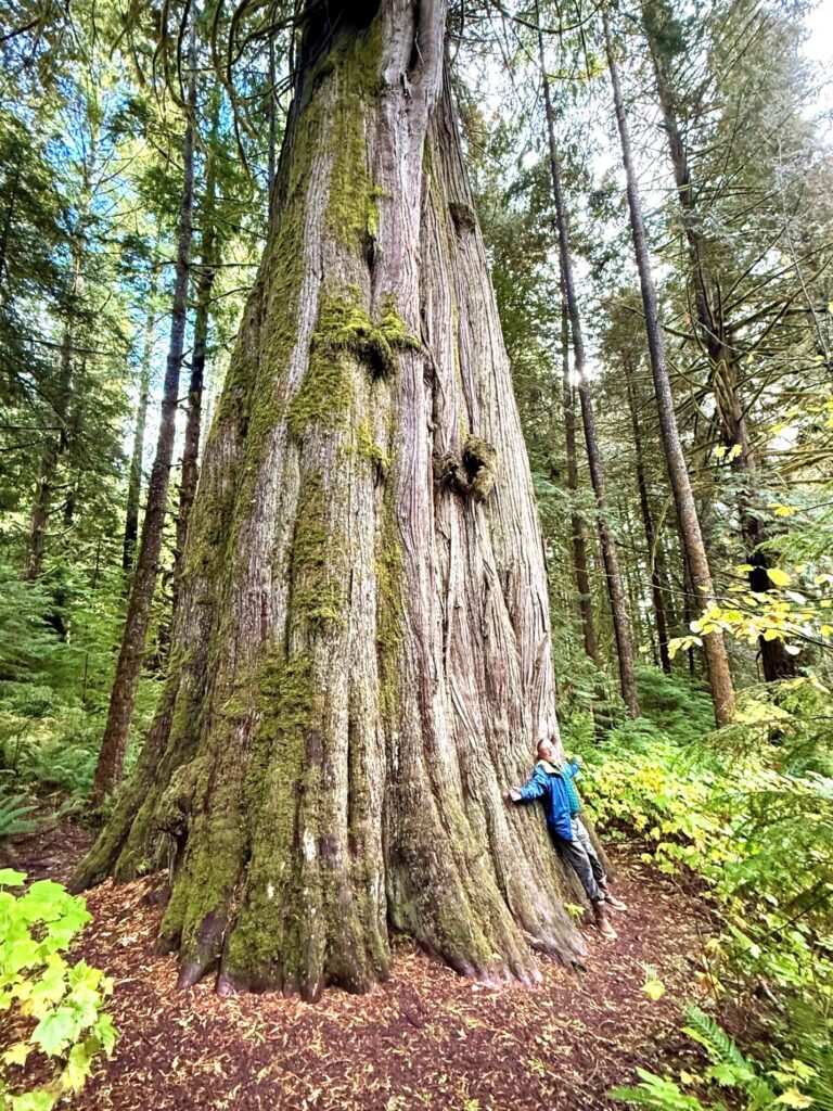
With our string held up at a 6-foot height above the ground, this gigantic Cedar measured out at a 48-foot circumference – using the formula: 48 / 3.1416 = 15.28’ diameter. This tree looks incredibly healthy and is free of obvious disease and burn marks. There is an ancient blaze cut at chest height and the carved-in figures are: TW NO 1854 or it could be TW 140 1854.
After the DeNaults visit to the big Cedar tree, they took their tender across South Bentinck Arm to visit and soak in the Tallheo Hot Springs. Follow their adventures below:
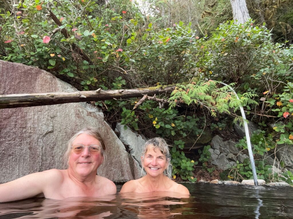
We had two days of great sunny weather, which is a blessing in Northern BC. Locating Tallheo Hot Springs is a challenge and it’s also quite hard to get safe anchorage there even with a tender. The only visible indication from the water for the location of the Hot Springs is the wood boardwalk.
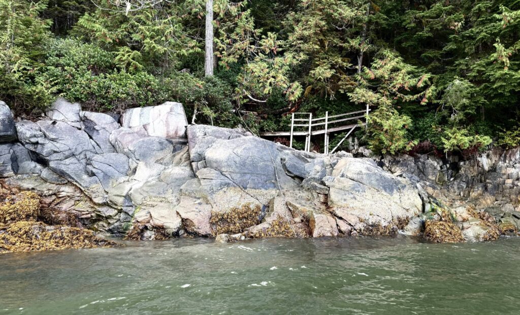
There is a short shallow rocky spit just north of the springs, which is covered when the tide is about 15 feet. We initially anchored at the south end of the spit, which is just north of the Hot Springs. The southern base of the spit has good anchorage with trail access via a set of stairs. The trail from the top of the stairs to the Hot Springs was only about a city block long, but surprisingly rough with many roots. We had a nice soak in Tallheo Hot Spring, but I interrupted my warm soak to check on the tender and found that it was almost stuck as the high tide rapidly receded. Having seen a white rope that someone conveniently placed, I moved the tender and tied-off right in front of the Hot Springs, and used an anchor to hold the tender off shore. We used our tender to further explore the area around Larso Bay and to look for bears at the mouth of several nearby rivers, but again the bears proved elusive.
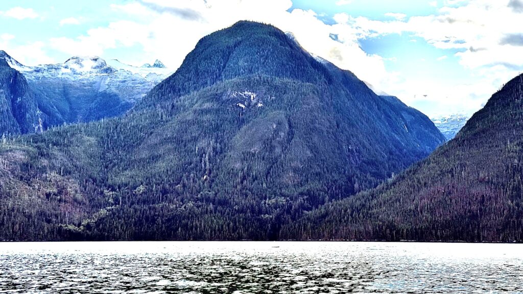
The next morning, we continued our cruise north and were rewarded with incredible views of the glaciated mountains that surround South Bentinck Arm.
The DeNaults kept a sharp eye out for bears during their journey and exploration of remote rivers and estuaries, but sometimes came up short. They were left wondering why their diligent searching returned only limited results. Their conclusion follows:
Conclusion. We planned our trip for Sept./Oct. because bears go through a phase called hyperphagia (extreme eating) in the fall. This is when they try to get as much as 20,000 calories per day to put on stores of fat in preparation for winter denning. We hoped this need to feed would increase our bear viewing opportunities. Our best educated guess is that the bears feed farther upstream, where the salmon are spawning in shallow pools. In these spawning pools, the salmon would be easiest to see and most dense allowing for the fastest consumption.
While our limited bear sightings were a minor disappointment, the incredible beauty and unspoiled nature of this area is beyond belief until you have seen it for yourself. In our two-month journey, we had many encounters with Humpback Whales and with cute Sea Otters and did many excellent hikes.
Many people travel to Norway or New Zealand to cruise their famous fiords, but most do not know about the numerous deep fiords of the BC Coast, which are surrounded by tall, glaciated mountains with hundreds of waterfalls. We are truly blessed to live here in the Northwest, which offers one of the world’s best and most protected and safe cruising grounds for boaters.
Article by: Brian & Laura DeNault
Waggoner Field Correspondents
Photos Credit: Brian & Laura